
Service
Laser scanning
Laser scanning surveys buildings, infrastructure and terrain as point clouds. We produce models for design, renovation and facility management, and a digital twin where needed. You get documentation that shows what the object looks like today.
When do you need it?
- A building, a facility or terrain needs to be documented with laser scanning.
- Models are needed as design documentation, for renovation or for terrain.
- A property portfolio needs to be described as a digital twin.
- The object needs to be reached together with drones.
What we do
- Laser scan and produce models for follow-up in construction and renovation projects, as design documentation and for terrain models.
- The scanning can capture panoramic images. The equipment can measure up to 270 metres and one million points per second.
- Scan together with drones when the object needs to be reached from above.
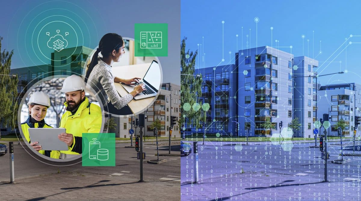
- Build digital twins, that is, digital counterparts of a physical object or process.
- Take the work from collected data to a finished digital twin, including for an entire property portfolio.
- Produce models from laser and photo scanning of building interiors and from drone scanning of outdoor areas.
- In facility management: information about items and components, data from IoT sensors, and building information in maps on computer and mobile.
What you get
- Models from laser scanning for design, renovation or terrain.
- Panoramic images when the scanning captures them.
- A digital twin when the assignment covers the route from collected data to finished model.
- Building information for facility management when included.
How it works
- 1. We agree on what is to be scanned and whether the result should be a model or a digital twin.
- 2. We scan with the equipment and range the assignment requires.
- 3. You get a model or digital twin according to the scope.
- 4. You keep decisions, approval and contractual responsibility. The scope is set in the assignment.
Frequently asked questions
What is laser scanning?
Laser scanning produces models of buildings, infrastructure or terrain. The equipment can measure up to 270 metres and one million points per second, and the scanning can capture panoramic images.
What is a digital twin?
A digital twin is a digital counterpart of a physical object or process. It is produced from collected data and is part of laser scanning.
Can drones be part of the scanning?
Yes. Laser scanning can be done together with drones to reach the object. Drone surveying has its own page.
Where are setting out and production surveying?
Geodetic surveying, setting out and quantity verification are on the production surveying page. It covers railways, civil works and buildings.
Does your project need laser scanning?
Tell us briefly about the project. We will go through the need and propose a scope.